
Loveland ZIP Coverage by Postal Code
Current USPS evidence supports three Loveland postal associations. The rows below describe the safest use of each ZIP in a Loveland ZIP code directory: begin with the postal label, then test a complete street address. USPS provides address-to-ZIP, city-and-state-to-ZIP, and ZIP-to-city questions, but it warns that a returned ZIP does not prove a person or business is at an address.
| ZIP | Areas Covered | Post Office | Notes |
|---|---|---|---|
| 80537 | Loveland postal addresses using 80537; exact streets require an address check | Loveland, Colorado routing | Current USPS materials associate the code with Loveland |
| 80538 | Loveland postal addresses using 80538; confirm the delivery point in USPS | Loveland, Colorado routing | Postal association does not draw the city line |
| 80539 | Current Loveland postal label and delivery routes; exact use varies by address type | Loveland, Colorado routing | Still listed in the current 2026 L012 file |
The post-office column is a routing description, not a claim that every parcel in the ZIP sits inside Loveland city limits. Postal city names, delivery routes, and municipal boundaries use different source systems. Save the tested address, returned ZIP, ZIP+4 when supplied, postal city, and lookup date before moving to a property or voter record.
Why Loveland 80539 Still Matters
80539 is the quirk most likely to produce an outdated Loveland ZIP directory entry. Older USPS routing material grouped it with other Loveland codes for some mail and box-service purposes, which can make a searcher think the code vanished or changed into a different code. The current USPS L012 labeling list, effective July 1, 2026, still lists 80539 under LOVELAND CO.
That current label does not answer whether a particular address uses a street delivery route, a box route, or another postal convention. Run the complete address through the USPS ZIP Code Lookup and keep the returned result. Do not replace 80539 with an older grouping merely because a historic directory or postal bulletin uses a different presentation. A modern postal result and a historic reverse-geography clue can both be correct for their own time.
Postal clue. A ZIP that appears in a city grouping is evidence of routing, not a census boundary, parcel boundary, or resident list.
USPS Lookup for a Loveland ZIP
USPS makes three related lookup tasks available, and they should not be blended. The first standardizes a complete address. The second asks which ZIP codes are associated with a city and state. The third starts with a ZIP and returns city information. Each answers a postal question. None is a people search, ownership search, or proof that a person or business uses an address.
| ZIP by address | Enter the street address and receive the current delivery ZIP, with ZIP+4 where the service returns it. |
|---|---|
| ZIPs by city and state | Use Loveland and Colorado to see postal associations, then test the actual address. |
| Cities by ZIP | Use a ZIP to see the postal city presentation; do not treat the result as municipal proof. |
| AIS product data | The USPS AIS description covers ZIP+4, county, carrier route, delivery point and address-quality fields. |
A postal ZIP directory should cite the question that was asked. An address result is stronger for one delivery point. A city-and-state list is useful for a starting inventory. A ZIP-to-city result helps explain a label but says little about city limits. USPS’s warning is central: a ZIP result does not prove a person or business is at an address.
Finding Loveland Residents by ZIP
A ZIP search becomes a record workflow only after the postal code is tied to a parcel, voter report, or historical source. Larimer’s Assessor public-data files expose separate situs and mailing ZIP fields. The state voter form uses ZIP as one input for one person. LIL is a parcel map and browse tool, not a simple ZIP-wide resident result. Use the following sequence to keep the geography honest.
- Test the complete address in USPS and save the returned ZIP, ZIP+4, postal city, and date.
- Use the Larimer Assessor property search or public-data files, filtering
SITUSZIPCODEfor parcels and keepingMAILZIPCODEseparate. - Use LIL to inspect the parcel, subdivision, and nearby boundaries when the ZIP and city labels seem to disagree.
- For a specific voter question, use the Colorado name, ZIP, and birthday form; for permitted county reports, request the relevant district or election data.
- Record the source run date and stop at the source’s limit rather than treating a parcel filter as a list of all occupants.
Once a ZIP narrows the question to a street, the address-keyed workflow belongs in the Loveland by-street directory. That next step uses the situs address, parcel number, and legal description rather than assuming that every nearby postal address shares the same municipal status.
Loveland Assessor ZIP Fields Separate Place
The Larimer Assessor Public Data Center is the strongest local source for separating a parcel’s physical location from a record owner’s correspondence address. Its documented schema includes SITUSZIPCODE, SITUSCITY, situs street fields, MAILZIPCODE, owner names, parcel and account keys, sales, and run dates. The situs fields point to the parcel. The mail fields show where correspondence is directed and can point away from the parcel.
The Larimer Assessor Public Data Center shows the field-level structure used in a ZIP comparison.
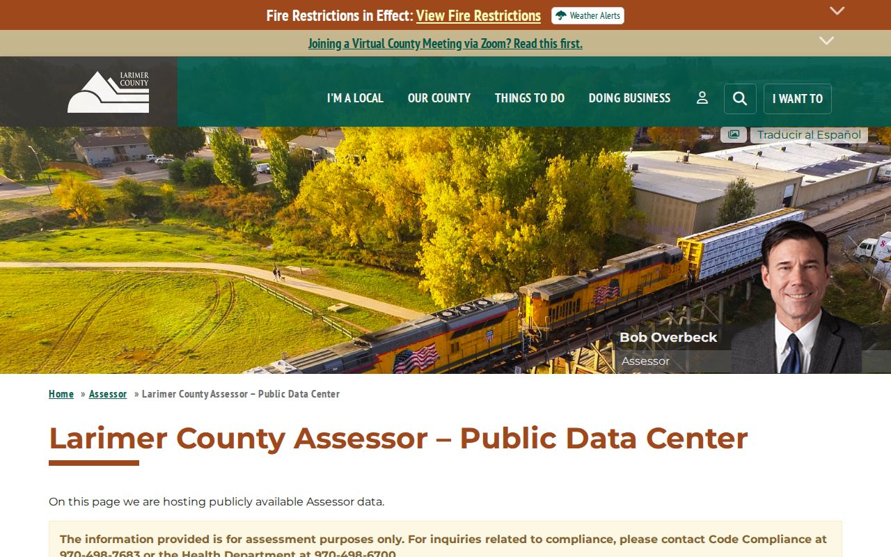
The image makes the key distinction visible: a ZIP directory built from mailing ZIPs can describe owners’ correspondence patterns, while one built from situs ZIPs describes parcel geography. Neither column is an all-person resident roll.
No verified ZIP-only whole-city control was located in the property search material. A reproducible result therefore needs the downloaded file name, tax year, run date, field used, and any parcel or city filter. LIL can help inspect the map, while the City Property Report can confirm city address files, zoning, subdivision, and plat context. Keep these layers separate from postal data.
Loveland ZIP Codes Are Not City Limits
A postal boundary, a Census statistical area, a ward, and a parcel line answer different questions. ZIP Code Tabulation Areas are Census approximations built for statistical reporting, not exact delivery boundaries. A mailing address can use LOVELAND while a parcel sits in unincorporated Larimer County, and a city parcel can carry a postal label associated with a broader delivery area. The same block can also overlap a ward, precinct, metro district, HOA layer, or planning notice radius.
- ZIP code
- A five-digit USPS delivery area label used to route mail and standardize addresses.
- ZIP+4
- An added four-digit segment that narrows a delivery point or route beyond the five-digit ZIP.
- PO-box ZIP
- A postal assignment centered on box service rather than a normal street-delivery area.
- Unique ZIP
- A code assigned to one organization or high-volume recipient, not a general neighborhood.
- Carrier route
- A delivery sequence used in address-quality and routing data, more precise than a city label.
Boundary check. Never call 80537, 80538, or 80539 an exact Loveland city boundary without checking the address, parcel situs, and municipal source.
Rural Routes in a Loveland ZIP Search
Historical Loveland records preserve older postal geography that can disappear when a researcher searches only a modern street line. The regional directory collection includes rural sections, telephone books, Street Guides, and cross-reference volumes. A 1925 directory page can place names on rural routes or in a wider Larimer service area even when a later source uses a street number and ZIP. The historical label is a clue to the route and time, not a modern city-limit statement.
Pair a rural-route entry with a current parcel legal description, Assessor situs field, map layer, and address file. Telephone books help bridge the 1941-47 city-directory gap and can preserve phone or address continuity, but a listing does not prove every household member or present status. When a route appears to move, preserve the old wording and search the newer street form separately.
The Fort Collins History Connection directory collection supplies the historical address-to-name context that a current ZIP lookup cannot provide.
Loveland Voter ZIP Data Limits
The Colorado voter lookup places ZIP beside first name, last name, and birthday to verify one registration. It does not return every registered voter in a ZIP and it does not show ballot choices. Confidential records and records for people under 18 may not appear. A no-match should be preserved as a possible confidentiality result, not used to fill a ZIP directory with guesses.
Larimer Elections offers reports such as district and precinct splits, voter counts by party, active-cycle ballot information, and five-election voting history, subject to the report and use rules. The county data request form asks for the requester, purpose, report, election choices, countywide or district scope, status, and date details. Custom research is $40 per hour. These reports can describe a permitted geographic count or category, but they are not a complete household map.
Use the Larimer Elections records and data page when the question concerns a report rather than one person. Cite the report name and run date.
Citing a Loveland ZIP Result
A reliable ZIP directory entry should let another researcher tell which geography was measured. Keep the full address used in USPS, the returned five-digit ZIP, any ZIP+4, the postal city, the lookup date, and the source page. For property work, add the parcel situs ZIP, mailing ZIP, city, tax year, and Assessor run date. For voter data, add the form or report name and its confidentiality boundary. For a historical directory, keep the volume year, route or street wording, page, and collection.
- State whether the result is USPS delivery data, Assessor situs data, Assessor mailing data, a Census ZCTA, a voter report, or a historical directory entry.
- Preserve the original spelling of Loveland, route, subdivision, or postal city and add a modern cross-reference only as a note.
- Check city limits and unincorporated status with the city or county addressing source when the postal label suggests an overlap.
- Do not convert a ZIP association into a claim about ownership, occupancy, or the location of a person.
That level of detail makes a ZIP code directory useful for parcel research, family history, and civic geography without pretending that postal routing is a person database.