
Loveland Neighbor Records by Source
Neighbor research works because the sources overlap without serving the same purpose. The Land Information Locator shows parcel polygons and layers. The Assessor supplies owner, mailing, situs, and sales fields for a selected parcel. City planning records explain a project area. Wards, precincts, ZIPs, HOAs, and metro districts are different geographies. Historical directories show a named block for a year, while a permit can show a change to the structure. None of these sources is a complete list of everyone who lives nearby.
| Source | What It Shows About a Block | Access |
|---|---|---|
| Larimer LIL | Adjacent parcel polygons, addresses, lots, blocks and map layers | Free identify, print and export tools |
| Assessor public data | Owner, mailing, situs, sales, parcel and account fields | Online search and downloadable files |
| Loveland Property Report | Zoning, subdivision, plat, agreements, reviews and city address files | Address-based public report |
| Ward map | Ward and council boundary around an address | Public address lookup |
| Planning notices | Project, meeting and affected-area geography | Current Planning pages; often a 500-foot notice radius |
| Association pages | Community identity, governing documents, events and contact route | Association-controlled; no public member roster located |
| Metro district documents | District boundaries, boards, service plans and infrastructure context | City and state document routes |
| Historical Street Guide | Year-specific occupants or businesses at nearby addresses | Library and History Connection collections |
| CitizenAccess | Permit status, inspections and building-change history | Public no-login address search; retention varies |
An owner row can help identify the parcel next door, but it does not establish who occupies it. A planning notice can show an affected radius, not a household list. An association contact can answer a community question without releasing member names. Start with the narrowest source that answers the block question.
Loveland Parcels Around One Address
The Larimer Land Information Locator is the most direct official way to build an adjacent-parcel set. Search or pan to the target address, turn on parcels and addresses, and use Identify on the target polygon. Save the parcel number, account, short legal description, subdivision, situs address, and map view. Then identify parcels that share a boundary or sit across the street. A buffer drawn by eye is not a household count, and parcel lines can be generalized.
LIL layers include parcels, addresses, subdivisions, platted blocks and lots, sales from July 1, 2011, HOA labels where available, severed minerals, recorded dimensions, land, flood, and basemaps. The tools include Identify, bookmarks, previous extent, print, export, share, and measurement. Use the map to choose which parcels belong in the block set, then move each selected parcel into the Assessor search.
The map is not a survey or title opinion. Its value is repeatability: another researcher can see which polygon was selected, why an across-street parcel was included, and which layers were active on the lookup date.
Mapping a Loveland Block From One Address
A one-address-to-adjacent-parcels flow keeps the immediate block distinct from a whole named street. Use a legal and map key at each handoff rather than copying a name from one parcel into the next.
- Standardize the street number, direction, street name, type, unit, city and postal code.
- Find the target in LIL, identify the polygon, and save parcel, account, situs and legal-description fields.
- Identify shared-boundary and across-street parcels, recording the reason each one belongs in the block set.
- Search the Assessor for each selected parcel and keep owner, mailing, situs, sales and run-date fields separate.
- Check the ward, planning notice, HOA, metro district and historical layers only when they answer the question being asked.
If the goal expands from the immediate block to every parcel along a named road, switch to the Loveland by-street directory. The street workflow is broader. A neighbor lookup should remain small enough that the selected parcels can be reviewed one by one.
Loveland Assessor Owners Are Parcel Clues
The Assessor public-data schema separates NAME1 and NAME2 from MAILADDRESS1, MAILADDRESS2, MAILCITY, MAILSTATE, and MAILZIPCODE. Owner Location adds situs information. Sales rows can show reception number, grantor, grantee, sale price, sale date, deed code, and deed description. Save the tax year and run date because a neighbor map built from one extract can age quickly.
Mailing address is correspondence. Situs address is where the parcel is located. Neither field names every person in a household. A deed party may be a lender, trustee, spouse, executor, lien claimant, or company. A permit contractor or applicant may not be the owner or occupant. For a block question, repeat the same narrow check for each selected parcel and label the source role.
The City Property Report can add zoning, subdivision, plat, special reviews, and City Address Files. CitizenAccess can add permits, inspections, contractors, dates, structure details, and retained plans where available. Larimer’s free Recording Activity Notification can alert on a matching recorded name, but it does not monitor every parcel or show a current household. These records help explain why a block changed without turning a building file into a local household list.
Loveland Association Contacts Are Not Rosters
Loveland does not publish one authoritative directory of every HOA or neighborhood association. Association-run pages are useful for confirming a community name, reading public governing documents, checking events, or using a legitimate board contact. They do not create permission to publish a member list.
The Mariana Glen HOA page describes a west Loveland community with 210 homes, 9.3 acres of greenbelts, events, and a volunteer board.
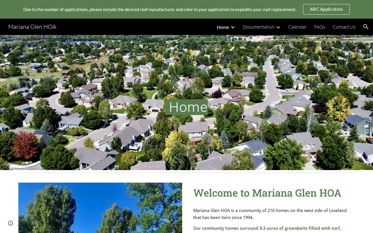
The image shows the community layer as the association presents it. Its public page does not expose a member directory, so use the published contact or board route for an association question.
| Mariana Glen HOA | 210-home west Loveland community, greenbelts, events and public board contact; no public member roster located. |
|---|---|
| Greenbriar Master HOA | Loveland association with public governing-document links and a contact route; use it to confirm the association, not individual households. |
The Greenbriar Master HOA page supplies the second official association example. Association information is community-controlled and can change independently of county parcel data.
Loveland Block Lines Across Metro Districts
A Loveland block can sit inside a metro district, HOA, ward, ZIP, precinct, planning area, and postal city at the same time. The city service-plan page names The Lakes at Centerra, Lakeview, Lee Farm, Loveland Midtown, Parkside, and Reservoir’s Edge among the local metro-district examples. Service plans and board documents can explain infrastructure, taxing authority, or an amenity boundary.
A metro district is not an HOA directory and its boundary is not a household list. A ward is a civic overlay, not a parcel owner file. A ZIP is a delivery label, not a city line. The overlap is useful when a question asks why two nearby addresses receive different notices, services, or public documents. Preserve the layer name and date instead of collapsing all of them into “the neighborhood.”
Use the Loveland metro-district service plans and state filings for boundary and board context. They explain the civic structure around nearby households without exposing private membership information.
Loveland Project Notices Use a 500-Foot Radius
Current Planning notices can show a project geography that is more useful than a neighborhood label. One documented Loveland notice pattern uses a 500-foot mailing radius and right-of-way signs for qualifying annexation, rezoning, or development proposals. The notice area describes who may be affected by a project, not every neighbor and not the identity of each household.
Loveland’s four wards were redistricted on April 4, 2023 after the 2020 Census showed an imbalance between existing wards. The city says natural breaks can include roads, neighborhoods, lakes, rivers, and rail lines. These boundaries can help place a block in a civic context, but the ward lookup is not a street roster. CivicWeb can add public agendas, minutes, documents, and applications tied to a board or project.
Check the Loveland planning maps, ward information, and CivicWeb portal for the public geography and meeting record. Save the project number and notice date.
The Loveland Voter Roll Myth
Colorado’s voter lookup asks for first name, last name, ZIP, and birthday to check one registration. It cannot enumerate a Loveland block. Larimer reports may provide district, precinct, party, registration, ballot, or prior-participation categories under request rules, but confidential voters are excluded. The public split also omits SSN, full date of birth, ballot choices, confidential records, and under-18 preregistration records.
Address Confidentiality Program participants and protected first responders should not be treated as missing households. A no-match can reflect a legal confidentiality choice. The county data request form uses requester, purpose, report, election, scope, district, status, and date fields. Custom research is $40 per hour. Use a voter source for its stated registration or report purpose, then stop rather than combining it with a parcel map to infer a household.
Myth check. A voter ZIP is an identity input. It is not a ZIP-wide name search, a party-choice record, or proof that every person at an address is registered there.
Historical Loveland Block Profiles in the Street Guide
Earlier nearby households are often found in a year-specific Street Guide, cross-reference volume, telephone book, newspaper, Sanborn map, or property card. The regional directory collection includes alphabetic people and businesses, street guides, business sections, and rural sections. The 1925 Loveland rural-route material shows why a historical household can appear under a route or wider county label rather than a modern street number.
Loveland Historical Society holdings add local place context through properties such as the Mariano Medina Family Cemetery and the Milner-Schwarz Farmhouse. A property page can connect a name, structure, or preservation story to a place without becoming a list of every resident who lived nearby.
The Loveland Historical Society properties page is the source for that local holdings layer.
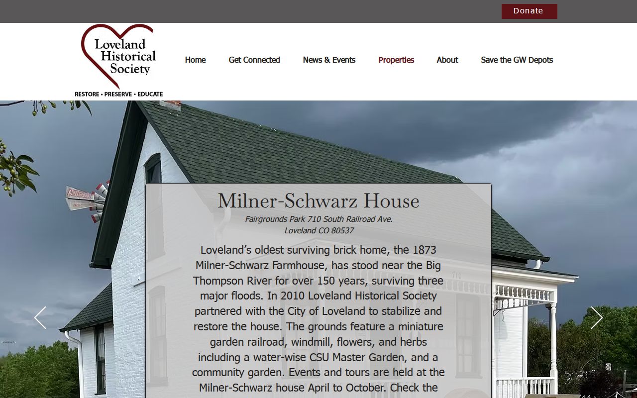
The image points to a collection and preservation route. Pair historical holdings with the parcel, directory year, Sanborn sheet, or deed citation that makes the block connection clear.
Privacy Limits on Nearby Homes
Official sources expose a defined field with a custodian and date. Compiled commercial area tools may merge old addresses, public filings, and purchased data, but their source path can be unclear and a correction may not reach the original record. Use the comparison below to choose the narrower, accountable source.
| Official parcel and civic records | Named custodian, documented field, source date, defined access limit, and a correction or request route. |
|---|---|
| Commercial compiled category | May combine stale or mismatched records, conceal the source date, charge for access, or lack a clear way to correct an error. |
| Association information | Community-controlled events, documents, and contact route; no assumption of a member roster. |
Larimer County warns that property records and protest rights do not require payment to a private solicitor. Check the county property-record scam warning before paying a sender who claims to provide an official parcel service.
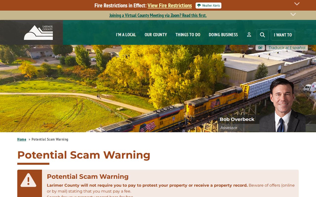
The warning image connects block research to source verification. Use the county, city, association, library, or archive route named for the record instead of trusting an unsolicited payment request.
Lawful use. Loveland neighbor research is for civic understanding, reconnecting, family history, and personal safety awareness. Never use a parcel, voter, association, or historical clue to stalk, harass, intimidate, or harm anyone.