
Loveland Previous Residents: Source by Era
A house history is strongest when the source matches the question. A deed identifies parties to a recorded instrument. A directory lists a name at an address for one year. A census describes a household on an enumeration date. A newspaper, cemetery entry, probate file, Sanborn map, or permit can explain a move or a change to the structure. The table gives the practical coverage map for previous residents research in Loveland.
| Source | Years | Where Held | What It Shows |
|---|---|---|---|
| Larimer land books | Land records from 1862 | Clerk & Recorder | Deeds, plats, mortgages, liens and legal descriptions |
| Online deed index | 1971-present | Landmark and EASY ACCESS | Grantor, grantee, reception, date and document clues |
| Assessor parcel data | Current files with run dates | Larimer Assessor | Owner, mailing and situs fields, sales and parcel keys |
| Loveland directories | Most years 1904-present, with gaps | Library, museum and History Connection | Names, addresses, occupations and business clues |
| Cross-reference directories | Strongest identified 1985-2005 | History Connection and physical archive | Address-to-name and later reverse routes |
| Federal census | Public through 1950 | Federal census collections | Household composition and reported age, birthplace and occupation |
| Newspapers and obituaries | Most Loveland papers since 1891 | Loveland Public Library | Moves, deaths, family, business and address clues |
| Permits and property reports | Current online records; older retention varies | Loveland Planning and Building | Alterations, plans, inspections and city address context |
Begin with the current parcel when the address is known. Begin with the library or History Connection when the target year is historical. Deed books cover a longer span than the online index. Directory pages fill the gaps between public census years. Each source should be cited as a dated clue, never as a complete list of everyone who used the property.
Loveland’s 1971 Deed Index Line
Larimer land records date to 1862, but the online recorded-document index begins in 1971. Before that line, the search moves to the Clerk & Recorder office at 200 W Oak Street, First Floor, Fort Collins. The county says it will not perform a custom public-record search for a requester, so a house historian must carry the book, page, legal description, or reception clue into the older record route. The recording office lists 970-498-7860, recording@larimer.gov, Monday through Friday from 8 a.m. to 5 p.m., and mail or phone orders that include a reception or CFN number.
| Anonymous access | Index data only, without document images. |
|---|---|
| Free registration | Watermarked image viewing through the online access level. |
| Paid image | Unwatermarked downloads; $0.25 per standard page or $2 for larger pages and plat sheets. |
| Certified copy | Adds $1 per document to the image or copy route. |
| Recording Activity Notification | Free name-match email alert, not a title search or complete history. |
The Larimer EASY ACCESS instructions describe these access tiers and the older-book cutoff. A free index result can establish a promising reception number, but only the instrument or certified copy can show the recorded legal text. Keep the access level with the citation.
Tracing Larimer Owners Backward
A deed chain follows the parcel rather than guessing from a street name. Pull the current owner, parcel number, short legal description, subdivision, map number, and sales reception number from the Assessor. Search the current owner as grantee around the likely purchase date in Landmark, then read the instrument for the seller, legal description, document type, and reception number. Search that seller as a prior grantee and repeat. Legal descriptions usually hold the chain together when a street label changes.
- Save the current Assessor owner, situs address, parcel and legal description, with tax year and run date.
- Search the current owner as grantee by name, date, document type, or legal mode in the Larimer index.
- Open the likely deed record and copy the grantor, grantee, reception number, date, legal description, and document type.
- Search the prior seller as grantee, checking the legal description and nearby dates rather than the street number alone.
- Repeat until the online index ends, then carry the book, page, or legal clue to the pre-1971 office route.
- Grantor and grantee
- The grantor transfers or releases an interest; the grantee receives the interest named in the instrument.
- Chain of title
- The linked sequence of recorded interests that connects one owner or party to an earlier one.
- Legal description
- The parcel identity in lot, block, subdivision, or metes-and-bounds terms. It is often more stable than a street address.
Branches matter. A quitclaim, trustee, beneficiary, representative, correction, lien, easement, mortgage, plat, or probate filing may not be an ordinary sale. The index is not title insurance, and a sequence of parties is not a professional title opinion.
Loveland Cross-Reference Books Bridge Gaps
The Loveland directory shelf is more than an alphabetical list. Regional volumes divide into people and businesses, a Street Guide, business categories, and rural sections. The 1985-2005 cross-reference runs are especially useful when an address is known but a household name is not. Later Cole volumes and telephone books can bridge years when an alphabetic directory or a modern online search does not match the old address form.
Loveland directories are described as covering most years from 1904 to the present, with important exceptions. The 1941-47 city-directory gap is partly bridged by telephone books. The 1904, 1906, and 1907 regional volumes lack a Street Guide. Publishers and formats change across Polk, Courier, Johnson’s, and Cole runs. A directory entry can show an address, occupation, spouse or household notation, telephone, business role, or a from/see cross-reference, but it cannot prove title or every occupant.
The collection details and publisher runs are organized in the Loveland city directories page. Use that shelf when the missing piece is a volume or abbreviation key; use the deed chain when the missing piece is ownership.
Loveland Address Numbers Need Context
Loveland research does not document one citywide renumbering event with a verified year. A mismatch can come from a directional abbreviation, a change in street type, annexation, rural-route conversion, alternate mailing label, or a deed that uses only a legal description. Do not create a renumbering story from one failed search.
Use City Address Files, historic maps, plats, directories, Sanborn sheets, the Assessor situs field, and the parcel legal description to test a suspected change. Keep the old and new wording together in the research note. A rural-route entry can belong to the same place later assigned a street number, while an owner mailing address can point to a different city. The address is a lead key, not the chain itself.
When the modern Property Report and an old directory disagree, compare the parcel, subdivision, block, lot, and nearby street names before choosing one spelling. The absence of a result is often a source-limit finding, not proof that previous residents never lived there.
Loveland’s 1901 Depot Corridor
Loveland’s early records carry a physical story through the Great Western Depot, Railroad Avenue, and the 4th Street corridor. The 1901 depot and nearby sugar-beet, rail, water, and Feed & Grain activity helped shape the names and business entries preserved in early directories. A present-day address search can miss that older vocabulary if it starts with a modern ZIP or street form.
For previous residents research, the corridor is a prompt to search more than an owner name. Look for business sections, rural and rail references, newspaper notices, property cards, and maps that place a household near a named landmark. The story does not turn every early directory name into a depot resident. It supplies a local place key that can connect a page, route, business, or photograph to the broader address trail.
Past Loveland Households in Directories and Census
Owners are only one layer of previous residents. A household trail pairs a year-specific directory entry with the nearest public census, then checks newspapers, telephone books, permits, and the parcel record. The federal census is public through 1950 under the 72-year rule. Directories fill many intercensal years, but they may omit children, lodgers, short stays, rural households, or people who declined a listing.
- Start with the current address, parcel number, legal description, and a historic target year.
- Check the nearest directory Street Guide or cross-reference, then confirm the name in the alphabetical section.
- Record spouse notation, occupation, phone, business, rural route, from/see note, page, publisher, and volume year.
- Compare the listing with the nearest public census year and note differences in household size, age, birthplace, and occupation.
- Use newspaper, cemetery, permit, deed, or probate clues to explain a move, death, transfer, or building change.
The 1925 Polk directory record identifies the Fort Collins, Loveland and Larimer County volume and its metadata.
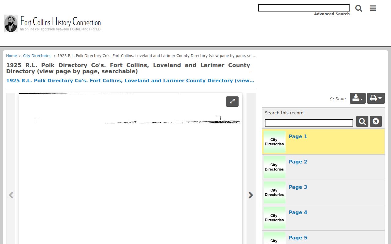
The metadata image is useful for citing the volume, call information, publisher, and collection. It does not replace a readable page or establish that every Loveland household appears in the volume.
The scanned 1925 Loveland rural-route page shows how a historical address and name entry can look.
The page image preserves route wording, name blocks, cross-references, and advertisements. Read the volume’s abbreviation key before treating initials or occupancy marks as plain language.
Lawful use. Previous-resident research is suited to house history, genealogy, and personal curiosity. A historical listing is not permission to track, contact, or harass a living person.
Loveland Obituaries, Probate, and Cemeteries
When a former resident leaves an address, the trail may end in an obituary, cemetery record, probate index, or archive finding aid. Loveland Public Library materials include newspaper microfilm for most local titles since 1891, an obituary and name-change card index, local-history books, vertical files, and historic maps. The digital newspaper route can find a notice, while a library copy or scan may require a fee. An obituary may supply family, last address, funeral home, church, or executor clues without being a certified vital record.
Colorado State Archives lists Larimer naturalizations from 1872-1906, district-court series from 1868, probate material, delayed births from 1942-65, small-claims material, indexes, and fee books. The Colorado Archives Search is a catalog route; the file or copy request is separate.
The Archives image shows a collection-search entry point rather than a complete resident index. Use the finding aid, record group, date, county, and party clue together before requesting a copy.
Loveland Burial Park and Lakeside Cemetery records can connect a name to a plot or interment, but an open online name index was not located. The city cemetery office, library, Historical Society, and archives each hold different pieces. A cemetery clue can support a family or date hypothesis; it does not establish a current address.
Loveland Sanborn Maps and Permit Files
Sanborn fire-insurance maps give the structure layer of an address history. Loveland sheets are identified for 1886, 1890, 1893, 1900, 1906, 1911, 1918, 1927, 1937, and 1946. They can show a building footprint, use, materials, street context, and changes between map years. They do not show ownership or a full household roster. Pair the map with a directory, deed, parcel legal description, and newspaper clue.
Loveland CitizenAccess provides a public no-login permit route by address or application number. A result may show permit status, contractor, dates, structure details, values, fees, inspections, reviews, and retained plans, applications, or certificates. Older or missing documents require a records request. The City Property Report adds zoning, subdivision, plat, agreements, reviews, and City Address Files. Museum property cards can add a small photo, floor plan, owner, and legal description for historic properties, usually through an appointment. These files date the property or work, not every past resident.
Use the Loveland CitizenAccess portal after the address is tied to the parcel. Preserve the permit number and date, then compare the change with the directory and deed chronology. For a current parcel angle, use the Loveland by-street directory.